Routing or free draw
Build a route with available routing or switch to free drawing when needed.
HikeTrack brings together GPS recording, offline maps, GPX tracks, 2D/3D planning, safety tools and useful field information.
Before, during and after your outing, HikeTrack keeps planning, tracking and route management together.
GPS preparation, recording, pause/resume, distance, duration, speed, altitude and elevation.
Choose map layers, prepare offline areas and keep useful cartography available on the trail.
Import, search, display, share and manage tracks with previews, distance, duration and elevation data.
Build a route, inspect terrain in 3D and review its elevation profile before you leave.
Split a route into stages and add goals, notes, bivouacs and information for each day.
Create personal markers, organise them and document nature points of interest.
Display protected areas and receive a warning when a planned route crosses one.
Display huts, cabins, shelters and water points with the information and source available.
Identify visible peaks with name, altitude, direction and distance, including through the camera view.
These screens come from the current application build rather than the older website mock-ups.
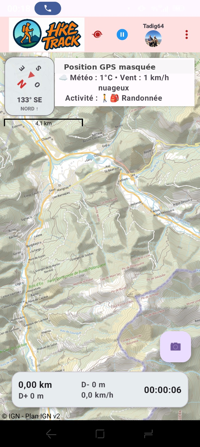
IGN map, activity, weather, pause, distance, speed, duration and elevation remain available during an outing.
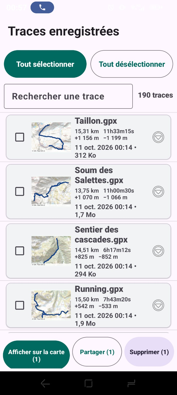
Search GPX files, review previews and statistics, then display, share or delete a selection.
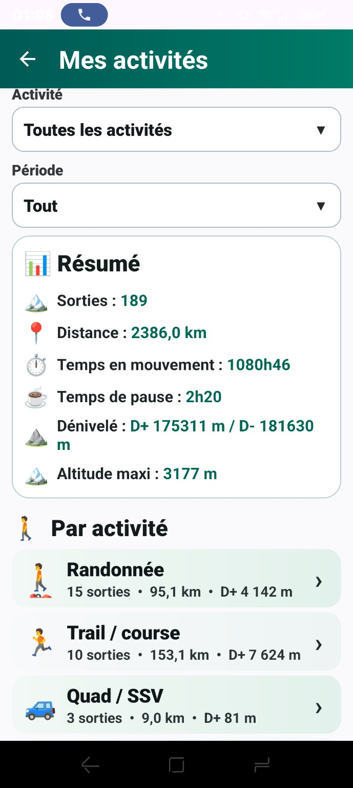
Filter by activity and period to review outings, distance, moving time, pauses, elevation and maximum altitude.
Planning is now a real HikeTrack feature: 2D routes, 3D terrain, stages, targets and bivouac notes.
Build a route with available routing or switch to free drawing when needed.
Track distance, ascent, descent and stage targets while planning.
Split the itinerary into days and attach notes, markers and bivouac information.
Inspect the route on terrain and review its elevation profile before departure.
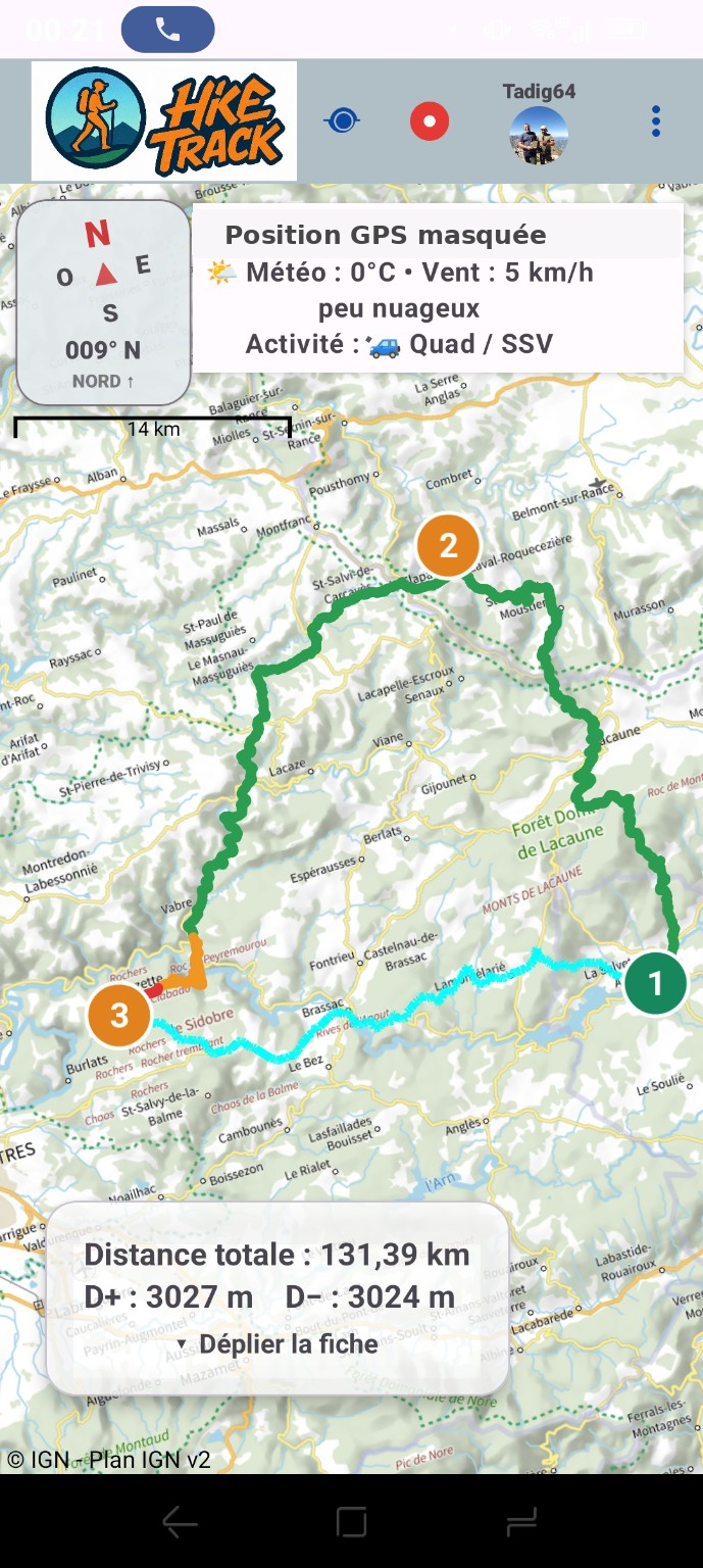
Overall route view, stages and distance / ascent / descent summary.
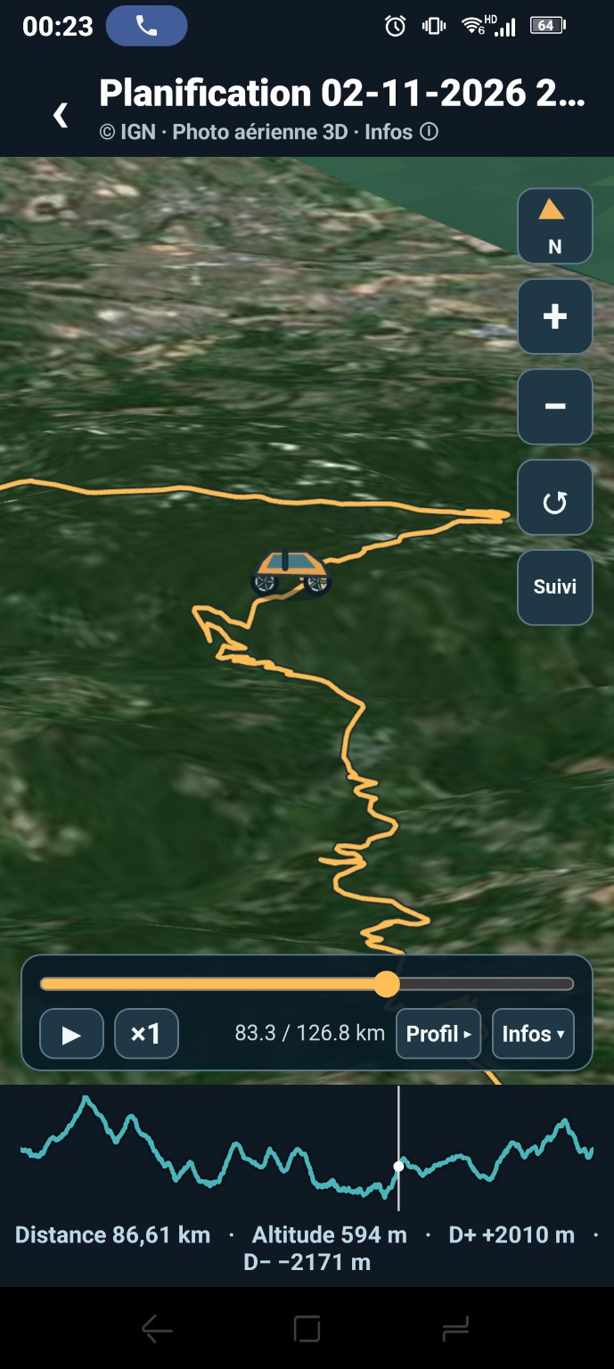
Route playback on terrain with progress and elevation profile.
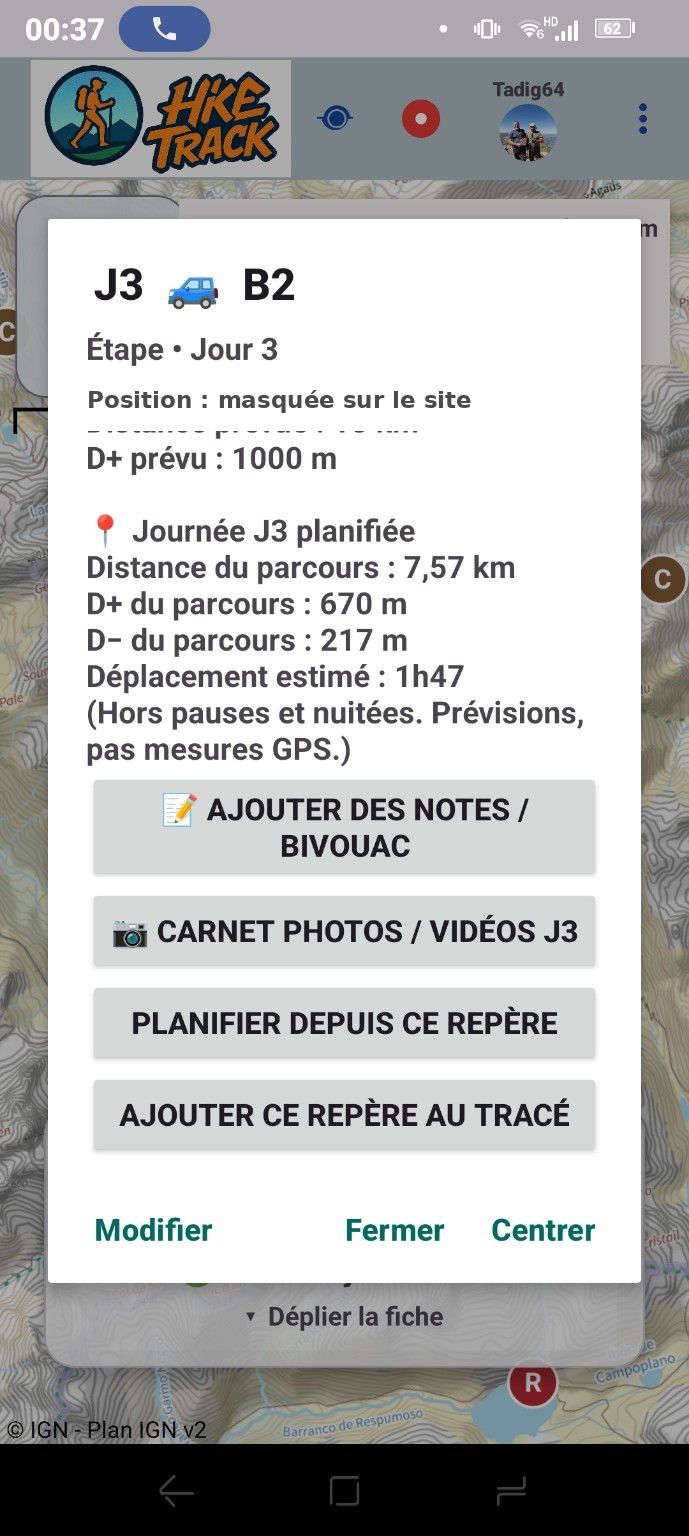
Each day can keep targets, notes, photos and bivouac information.
Prevention and emergency tools have evolved too. Personal information is deliberately masked on public screenshots.
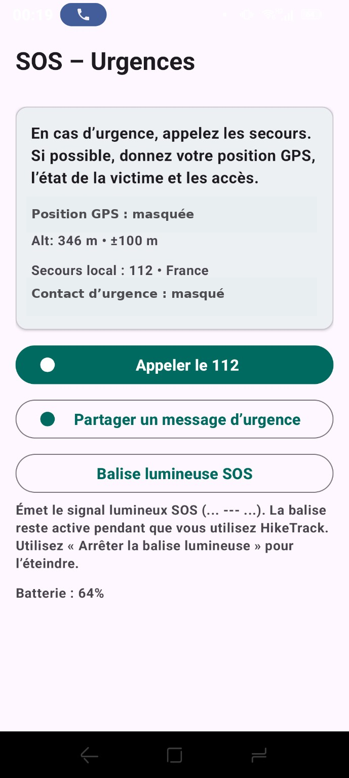
112, emergency message sharing, SOS light and useful information are grouped on a dedicated screen.
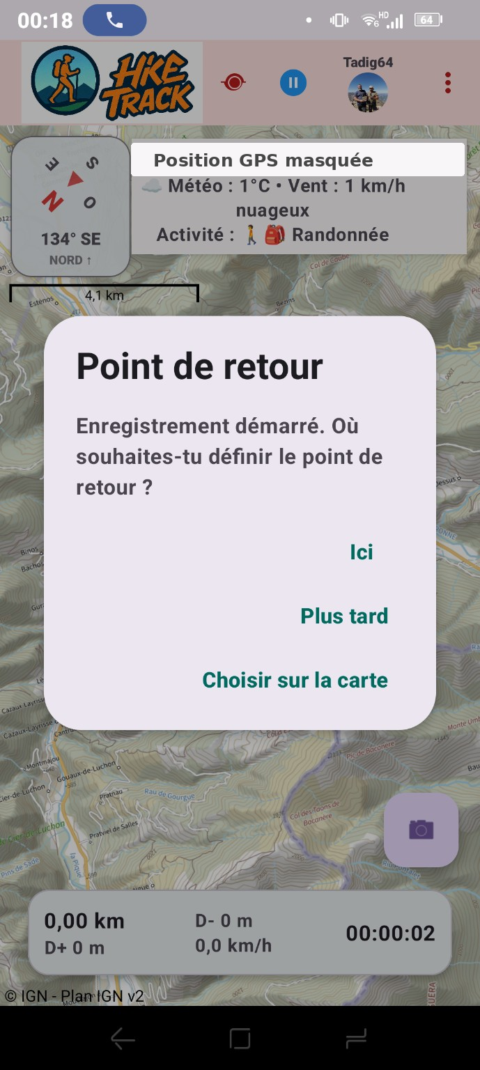
At recording start, define the return point immediately, later, or directly on the map.
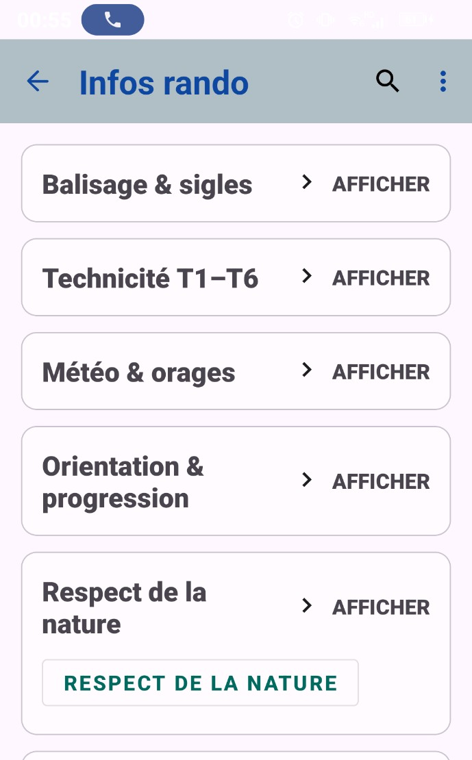
Trail markings, T1–T6 technical level, weather, orientation, nature, first aid, heat, cold, fog and animals.
The redesigned Map & layers menu now groups map sources, offline areas, peaks, protected areas, shelters, water and nature tools.
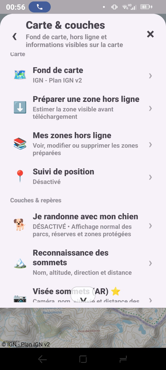
Map sources, offline areas, position tracking, dog mode and peak recognition.
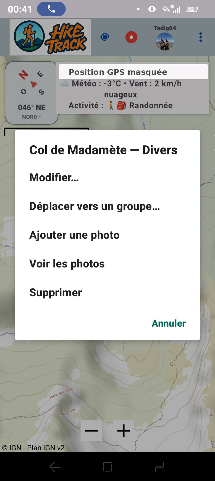
Edit a marker, move it to a group, add or view photos and manage it directly from the map.
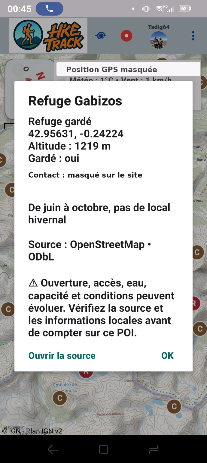
Type, altitude, season, notes and source are shown on the point card. Contact details are masked on the website.
HikeTrack now provides terrain and regulatory context in addition to recording a route.
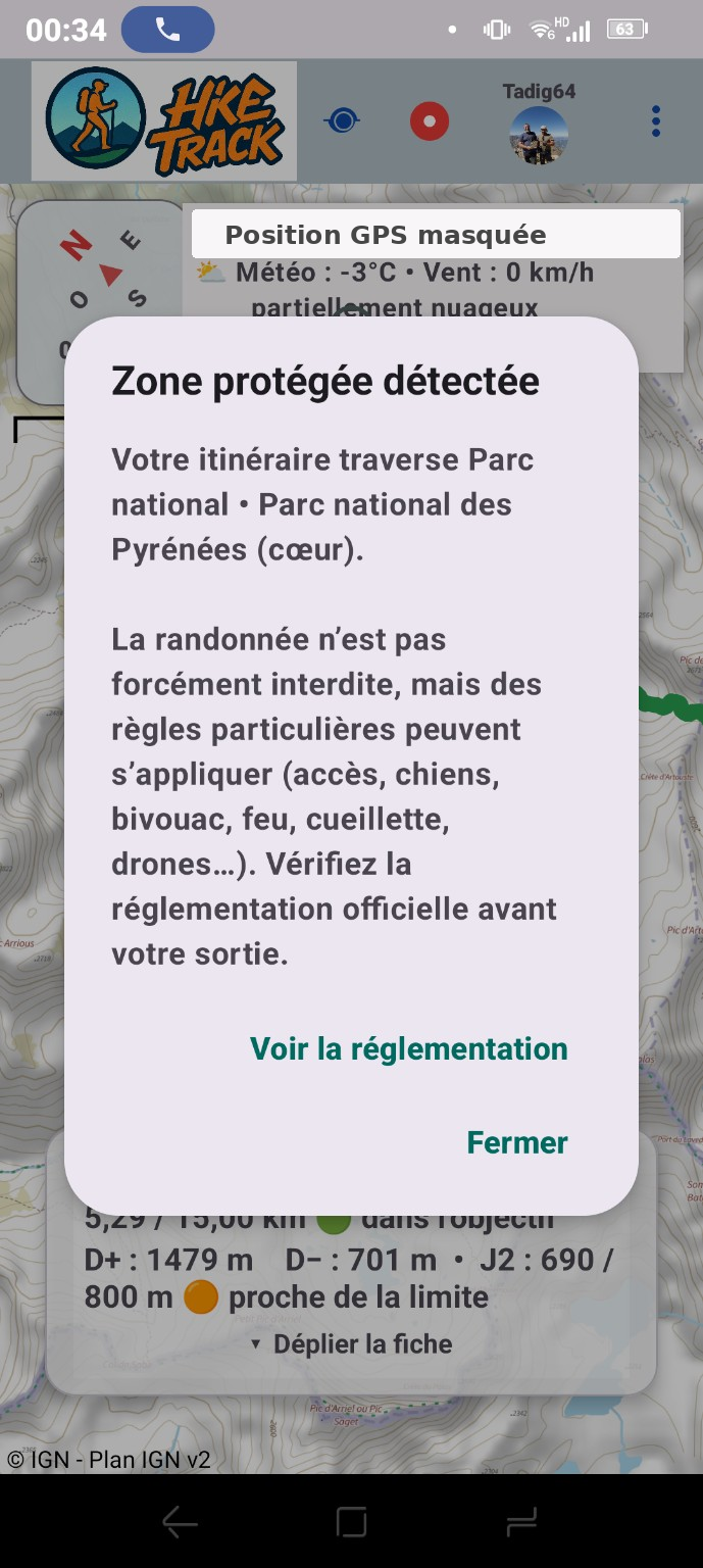
A warning appears when a planned route crosses a protected area and reminds you to check official rules.
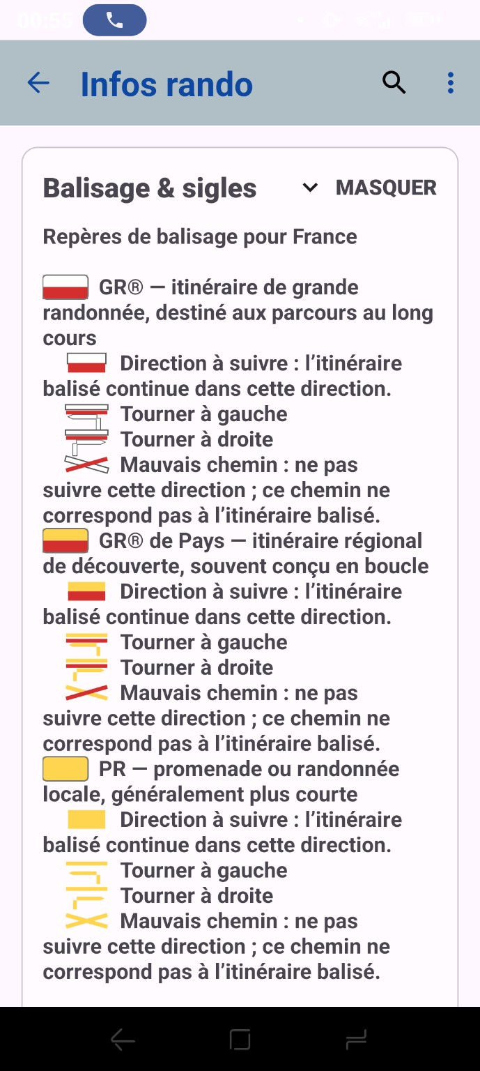
A visual reference helps identify the main hiking markings and direction changes.
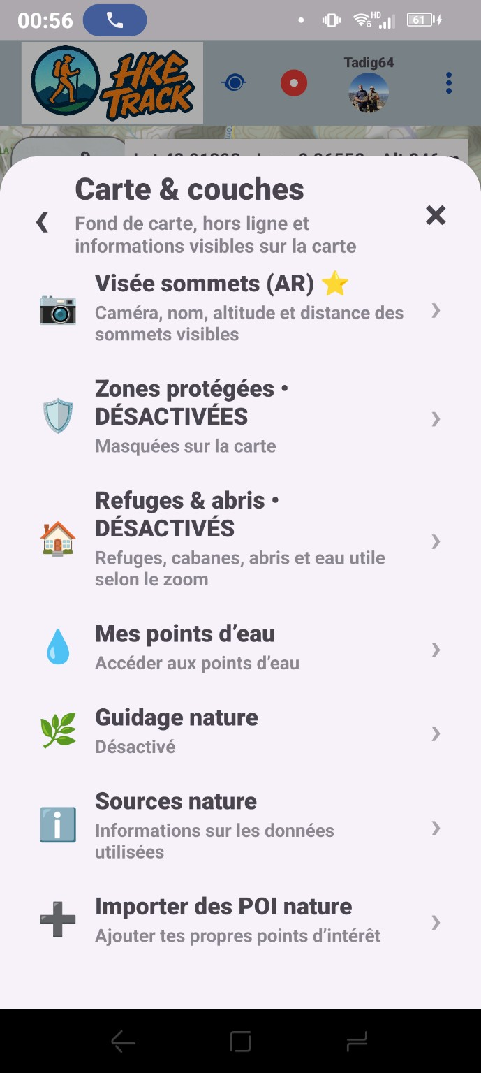
Peak AR, protected areas, shelters, water points, nature guidance, sources and POI import remain in one place.
The camera can show the name, altitude and distance of visible peaks. A public screenshot will be added without a private indoor background.
The new compact panel compares activities and periods without covering the whole screen.
The layer menu adapts protected-area information when dog mode is enabled.
Water points, nature POIs and source information complement the map layers.
The group module already exists and is still being improved before public release.
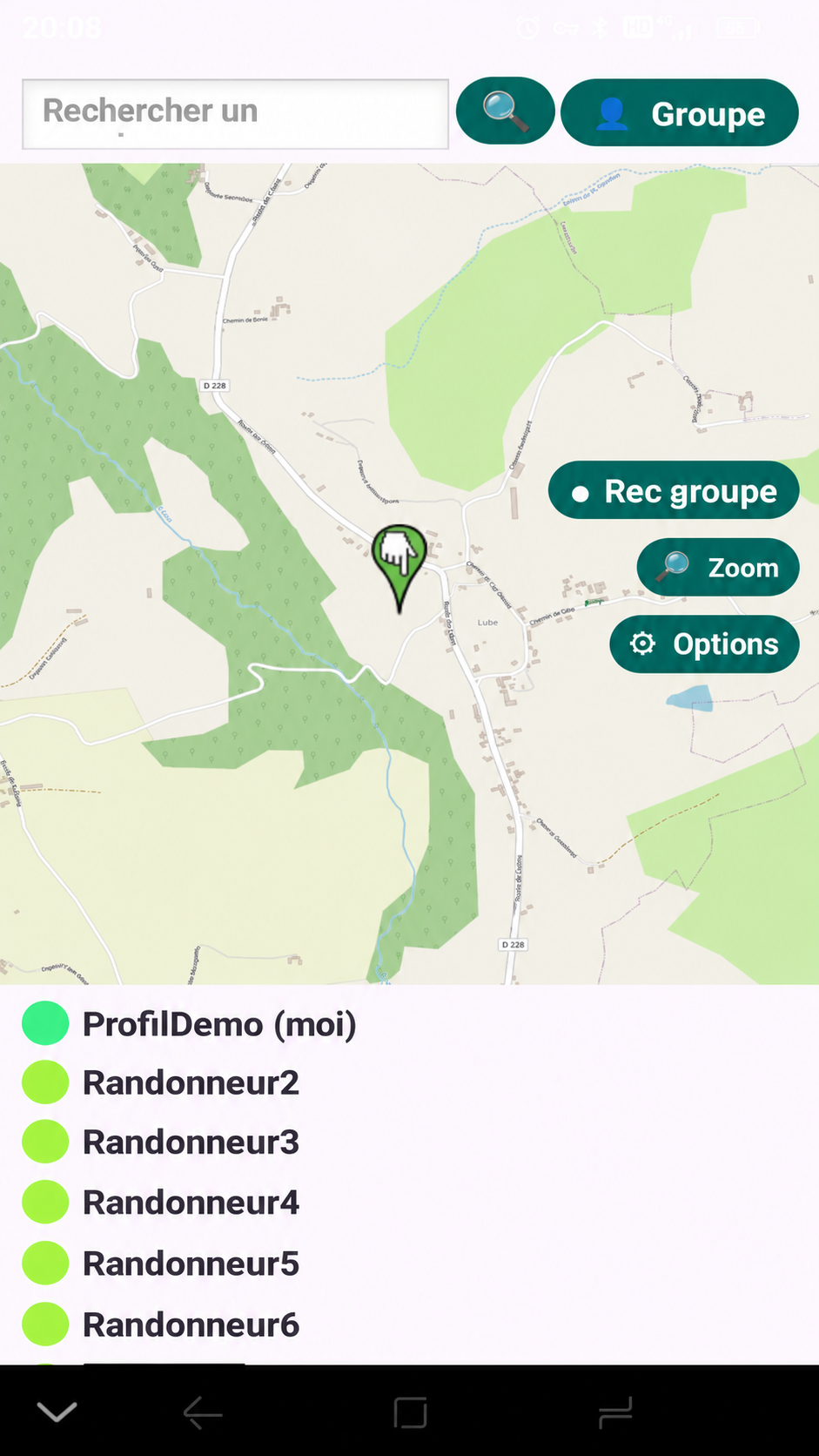
See group members on the map and distinguish their positions or tracks by colour.
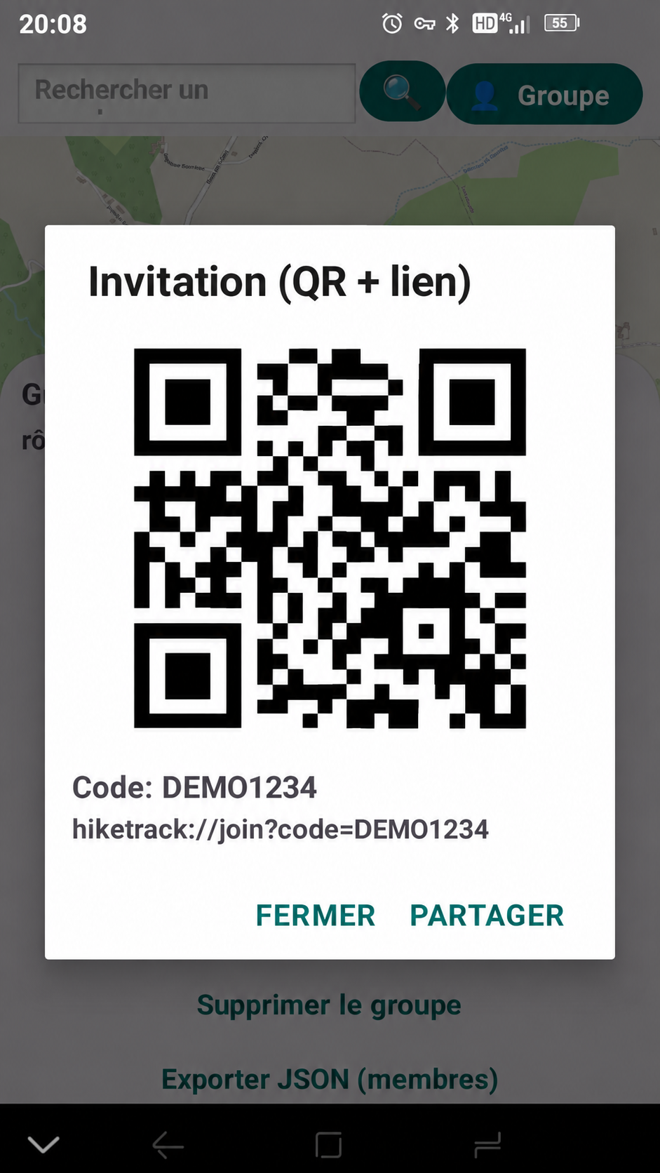
Prepare and share a group invitation by QR code or link when using the module.
The website now separates available functions from features still in testing or planned.
The public Android release is being prepared.
Invitation, member tracking and shared tracks are being refined.
Route sharing and discovery features may be added later.
HikeTrack is currently in testing. The Google Play link will be added here when a public build is available.
Android • testing in progress • Google Play release in preparation